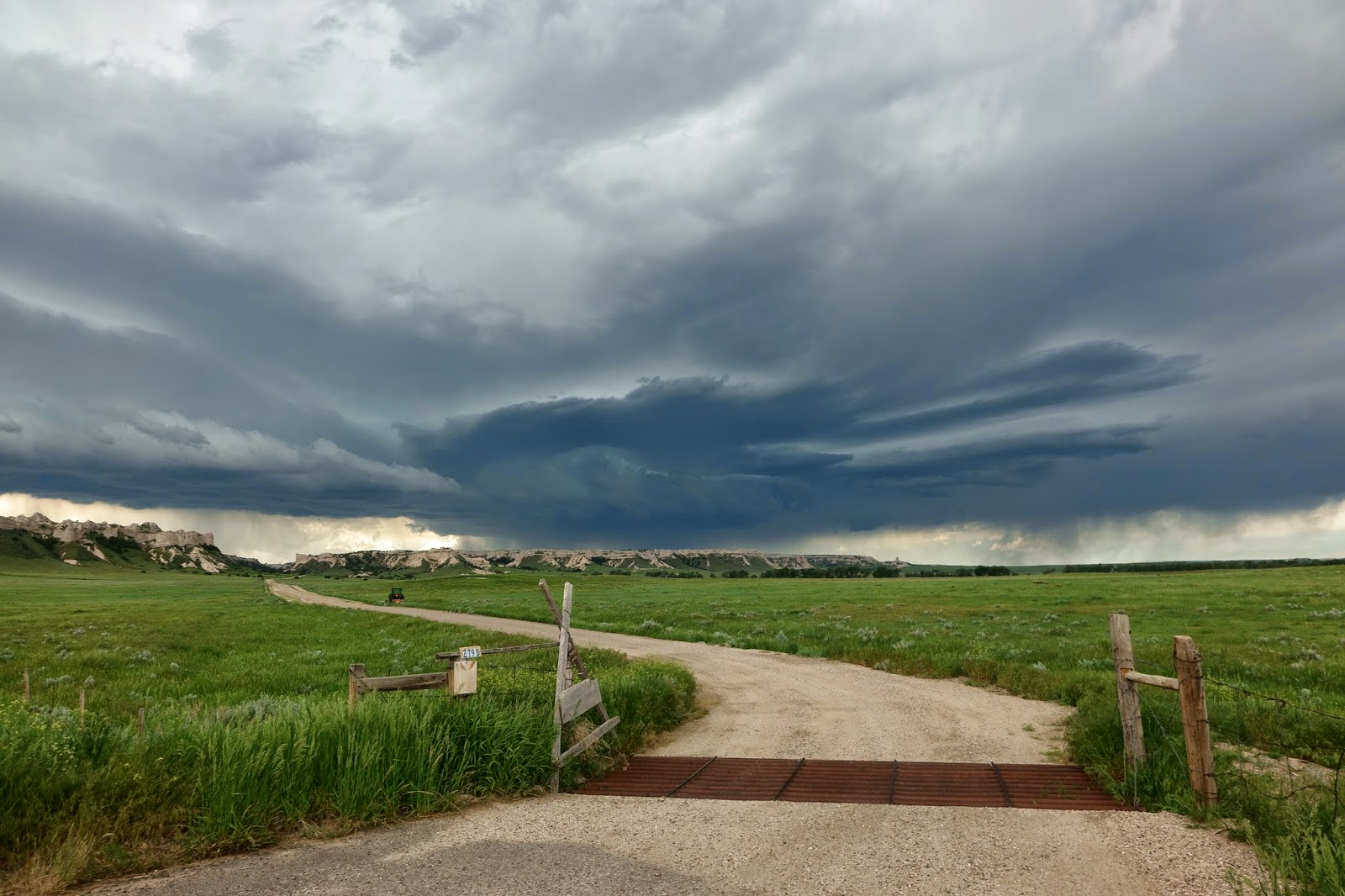
We had a leisurely morning in Cheyenne - Helen did a little shopping for a few albums, etc, and we had lunch in Subway. By around 1.30-2pm a few storms were forming to the west and north-west, and we drove out of town to the north-east, and parked up to watch. We spent a pleasant couple of hours just watching a cell to our NW go through various stages of development, before eventually dying out. A new cell to our NW looked more promising, but a line of fairly weak storms to the south was pushing an outflow boundary northwards. We decided to head further north to be in a better position to intercept - I remarked to Helen that we should keep an eye on the base of the developing supercell as the gust front moved in - sure enough, in the distance to our west we saw a suspicious lowering quickly develop and take on a funnel shape. We pulled up as a report came in from chaser Daniel Shaw that a funnel had been spotted. It was around 30 miles to our west, but we just happened to be in a spot where we could see it across the open landscape (which, I should add, is stunning!).
After it disappeared we continued north and then west - at this time the supercell was being overtaken by the gust front from the south and south-west, and the base took on a more linear appearance. It still looked very cool and we got some good pictures. We then decided to head to Torrington to let the storm's core passed over - it did, with winds gusting to around 50mph and pea sized hail. Nothing too bad but still very nice nonetheless, and with plenty of thunder and lightning.
We then headed SE through Scottsbluff to I-80N (we saw a nice storm to our west, backlit by the setting sun, as we did so), and then to North Platte, where we're staying - we have a balcony! We ate dinner at Applebee's with Nathan Edwards.
Tomorrow brings a risk of severe storms over quite a large areas, especially Kansas. Scattered supercells with large hail and damaging winds, and perhaps a tornado, will likely grow upscale into one or more MCSs (Mesoscale Convective Systems) through the evening, and may pose a windspread damaging wind threat.


Just wanted to tell you that it was very nice meeting you. If you are ever in this part of Kansas ever again, please feel free to drop in and say hello. Hope the 2 of you stay safe. Regards, Lori Morrow
ReplyDeleteHi Lori...it was great meeting you too! Many thanks for stopping by and saying hello. It was lovely speaking with you. Best wishes, Paul.
ReplyDelete