Long: We started the day in the hotel in northern Oklahoma City. We knew it was a potent set-up, with very juicy air continuing to be advected from the south, and a glancing blow from an upper trough moving in from the west. At the surface, a slow-moving SW-NE orientated cold front was to our north-west, and to the west, a dryline would mix in. The initial target area was somewhere west or south-west of Oklahoma City, so we headed to El Reno for lunch. Whilst there we sampled the atmosphere and noted dew points (a measure of the moisture, and thus, latent heat) of around 24C/75F. This is about as juicy an airmass as I've ever been in. I'd mentioned earlier that the day had a slight feeling of May 22, 2011, the Joplin tornado day, about it: that is, reasonable deep layer shear but not excellent low-level shear - but with extreme instability, which would more than make up for the slight lack of low-level shear.
As we finished lunch, a tornado watch with enhanced wording (a Particularly Dangerous Situation) was issued. By this stage, surface winds were starting to back to the south-east a bit, probably due to lift from the approaching upper trough and also lower pressure to the west due to intense surface heating west of the dryline.
Cumulus clouds were all about us, but on the satellite imagery we noted enhanced cumulus growth to our west and south-west. We decided to top off the fuel tank of the car and dropped south of town to get a better look at things. Towering cumulus clouds were developing to our north and north-west, although these seem to struggle with the capping inversion. We then saw more robust development to our west and this soon became a thunderstorm. It then quickly became a severe thunderstorm, and we headed a little west to afford a better vantage point.
Cloud to ground lightning was becoming frequent to our north, in the core and just on the downwind side of the updraught column. A pronounced rain-free base developed to our west and so we decided to head a little west to have a closer look. Rather quickly the storm *appeared* to become somewhat outflow dominant, with low-level clouds starting to race south-eastwards from the storm. We stopped for a look, but I soon became concerned that the clouds seemingly racing out in outflow were actually due to an rapidly intensifying low-level circulation. A ragged wall cloud formed to our north-west so we headed east. From this point on, it becomes a little tricky to recall exactly what happened. A tornado developed, which was multivortex, and we stopped a couple of times, briefly, to document it. However, the surging RFD seemed to accelerate the forwards progression of the tornado and so we had to race eastwards on dirt roads to keep ahead of it. Rain curtains were rapidly circulating just to our south-west, although, on reflection, and having a better clue as to where the tornado went, these curtains were probably more benign than they seemed at the time.
Somewhat in common with other large/strong tornadoes, this one took a sharp left turn towards the end of its cycle, and this took it into southern parts of El Reno. Tragically, several people were killed by this tornado, at least several in cars.
We then headed south in an attempt to move away from the storm, as it began to take more of a south-eastwards path. We noted another tornado close to Mustang before we continued south. At this point we ran into some horrendous traffic, because a huge number of people decided that it was safer to drive out of Oklahoma City, and get stuck in a traffic jam, than to ride it out. This resulted in a fairly worrying period of time for us as we knew a new circulation was forming to our west-northwest.
After some interesting driving exercises we navigated down a number of side roads away from the jam - this is where having a degree of situational awareness and also a good GPS mapping program works a treat.
Needless to say, once we got out of it all we paused to regain our composure and let the adrenaline ease. It was probably the scariest chase we've been on, and perhaps one of the scariest things we've done. Looking back, we were not in as much danger, thanks to anticipation of what the tornado was going to do, than we might have thought at the time. A number of other chasers seemingly hung around too long, or got caught out by how quickly the tornado span up, and several had damaged cars, and even some minor injuries - hopefully they are all OK.
We headed quite a way south and west, and have ended up in Lawton, Oklahoma, for the night. We spoke to one woman in the lift, from Yukon, Oklahoma - a town in the path of the storms. She had left town and travelled down here for the night - no doubt, one of the thousands on the roads fleeing the storm.
It was extremely worrying to see the thousands of cars on the road as this storm barrelled in - the tornadoes of May 19th and 20th have clearly, and understandably, left a huge impression on the population - today was much vaunted, with plenty of coverage - some of the news coverage certainly would have left the residents in no doubt that a huge storm was coming - perhaps too much? Who knows - this storm will certainly be the point of discussion for a long time to come, especially in regards to the reaction of the population of the Oklahoma City metro area.
I think this is our 6th or 7th chase day in a row - we're certainly in need of a break so we won't be chasing tomorrow. I think the next chance may be Monday, hopefully on the wide open High Plains - chasing close to Oklahoma City is something we probably won't do again, even if, in this case, we were never actually that close to the city.
A few pics from today - all copyright Helen Rossington/Paul Knightley:

Me awaiting initiation of storm - those clouds on the right of the picture are the beginnings of the devastating storm.

A look to the south, across a wheat field.

Developing supercell, a little west of the previous images.

Rain-free base starts to develop and storm intensifies.
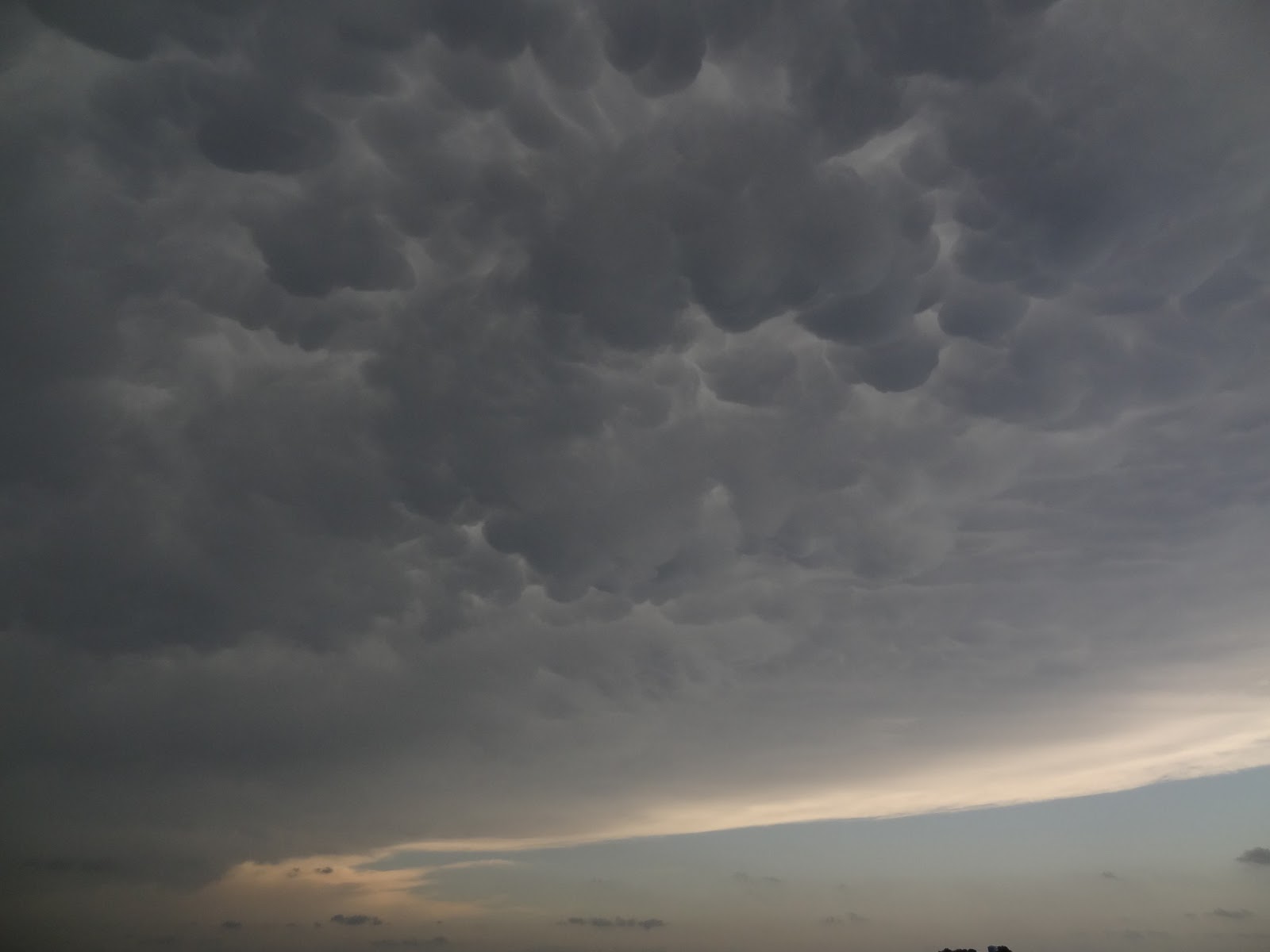
Very picturesque mammatus clouds above.

Me filming a rapidly developing multi-vortex tornado, south-west of El Reno, Oklahoma.

Same.

Large, wedge tornado near El Reno, Oklahoma - the tornado is the lighter cloud in the centre of frame.
Hi Paul,
ReplyDeleteGlad you and Helen are ok. I was watching the local TV live on internet until about 9pm your time, the traffic looked appalling. Reminded me a bit of the situation on 19 May 2010 when we were in central OK. I hope you have a restful down day tomorrow.
Have enjoyed looking through all your photos the last few days. Good luck for the next few!
Matt C
Cheers Matt! Yes, it was pretty scary for a time and the hoardes of people trying to get out of OKC was ridiculous.
ReplyDelete